Command Premium Prices for Premium Land.
Sweeping drone films, exact boundary mapping, and homestead photography that capture the true scale of your rural listings.
The Cost of Average
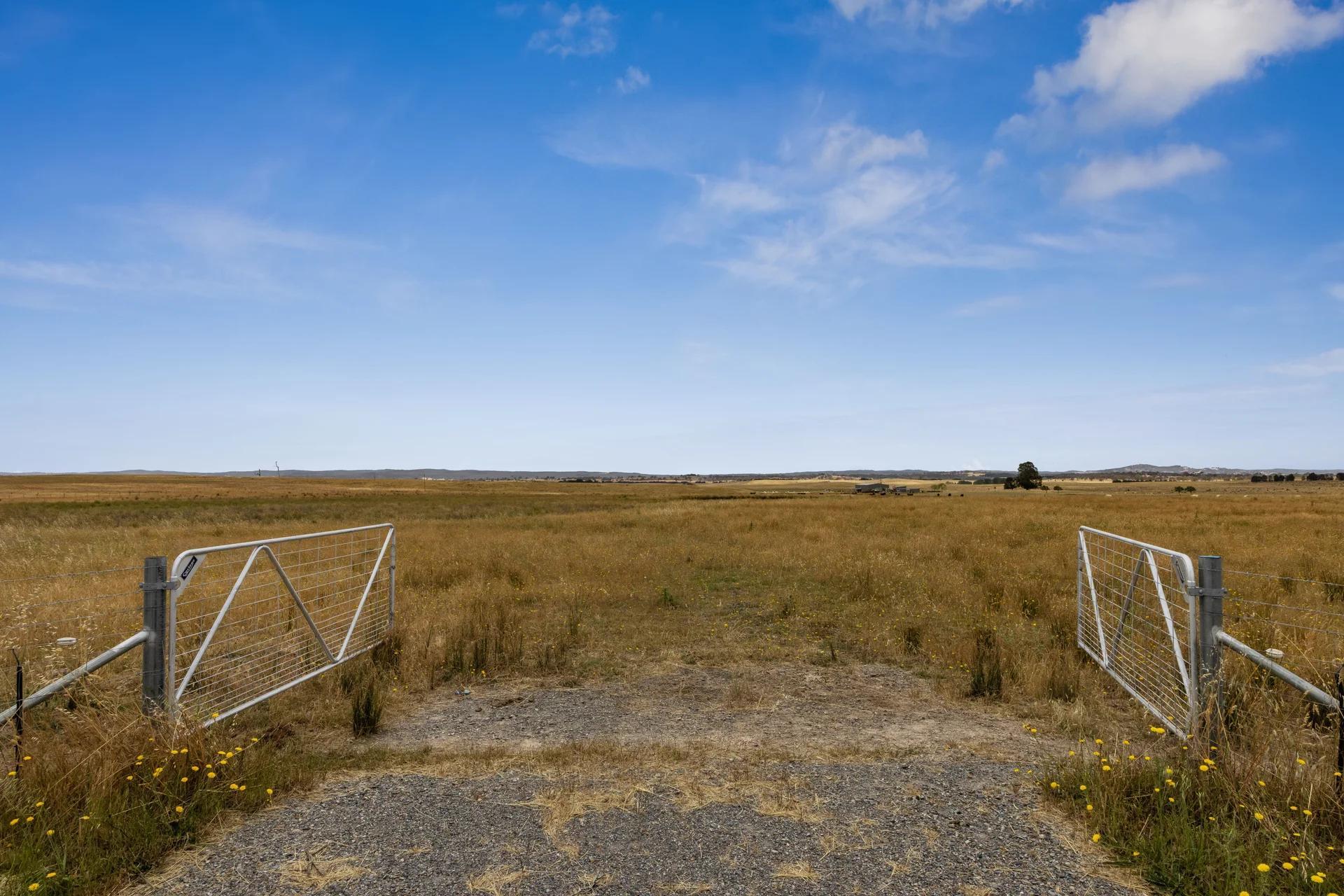
Standard photography makes 100 acres look like 10.
When you're selling lifestyle and scale, a grounded perspective isn't enough. It fails to show the boundaries, water access, and how the homestead sits within the land.
The Amateur Hour
Lost Scale
Ground-level shots obscure the true size of the property, making vast acreage feel restrictive.
Hidden Boundaries
Buyers cannot visualize the fence lines, grazing areas, or where the property ends.
Underselling the Lifestyle
The main homestead's relationship to the surrounding topography never comes through.
The Patorama Advantage
Cinematic Aerial Storytelling
Sweeping 4K drone videography that communicates the scale, topography, and lifestyle value of the acreage.
True Context & Topography
We capture the relationship between the homestead, the outbuildings, and the surrounding environment.
Interactive Boundary Mapping
Sharp aerial overlays that show precise boundaries, water sources, and key land features.
Scale Matters
See the full picture.
Ground capture is essential for detail, but only aerial drone photography can communicate the true expanse, boundaries, and layout of a rural holding.
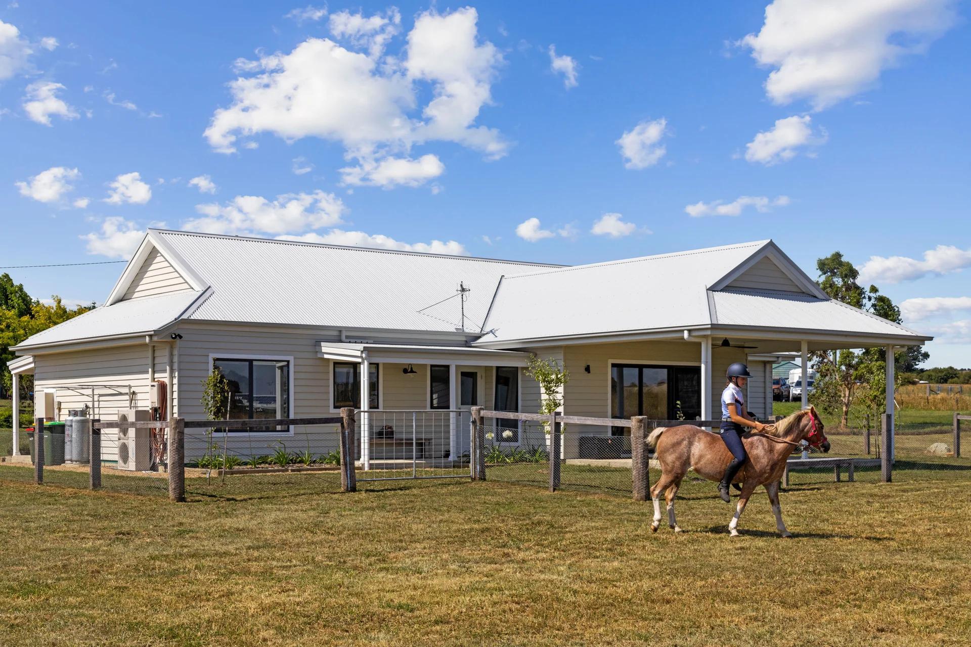
Ground Level
Flat and restrictive. Fails to show the true boundaries, water access, or the relationship between the homestead and the land.
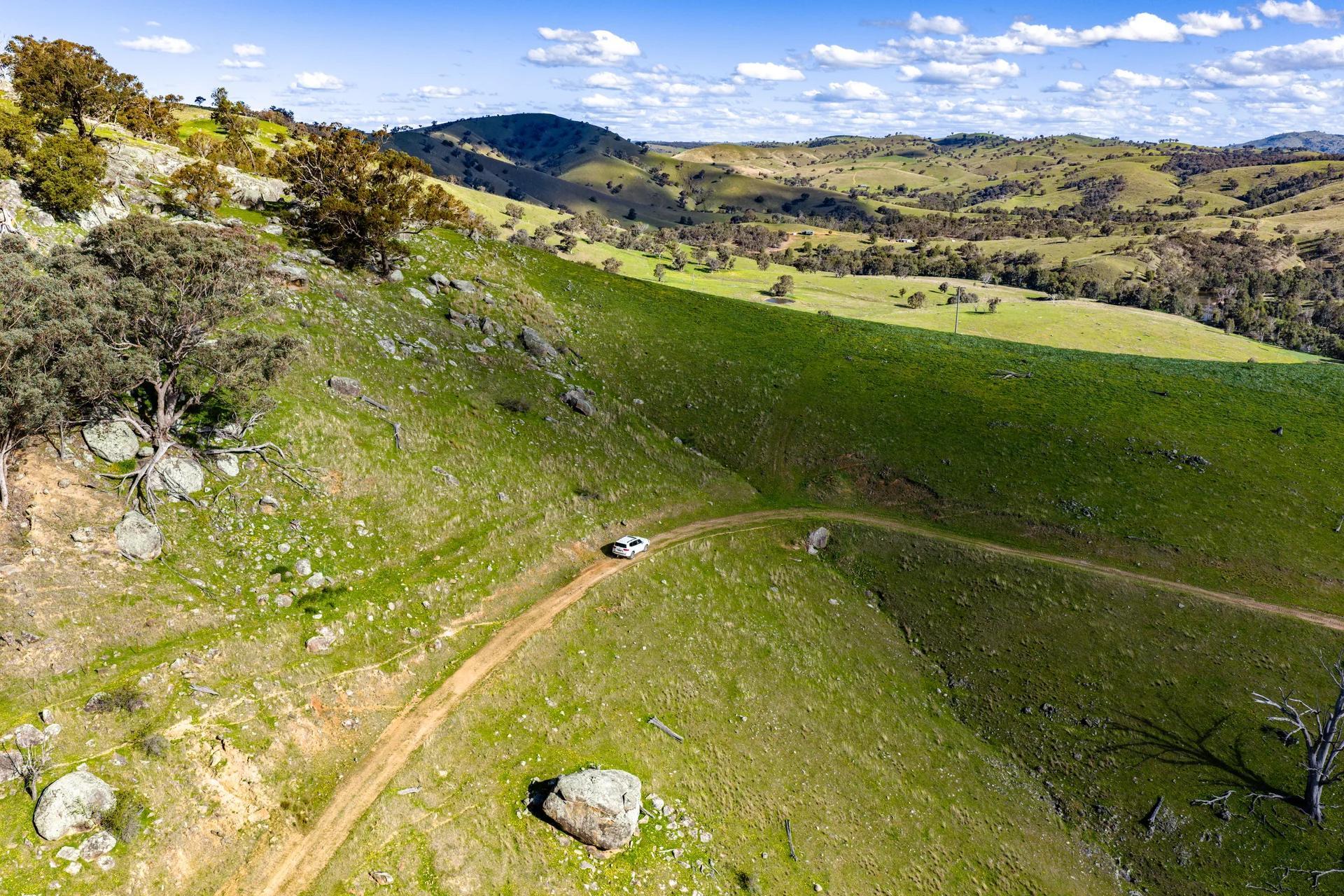
Aerial Drone View
Expansive and cinematic. Instantly communicates the scale, topography, and lifestyle value of the acreage.
Every Rural Listing
From Hobby Farms to Commercial Agriculture.
We know how to capture the economic and lifestyle value of every type of rural listing in the region.
Acreage & Lifestyle
Working Farms
Equine Estates
Wineries & Vineyards
High-Country & Off-Grid
Land Subdivisions
Trusted by Leading Agencies


Commanding Trust
Trusted by the Region's Leading Rural Agents.
Hear from the agents who trust us to capture their multi-million dollar farm and acreage listings.
"Patorama's aerial work completely changed how we market our acreage listings. Buyers finally understand the scale before they even drive through the gates."
George Southwell
Raywhite Canberra & Yass
"The drone footage and boundary mapping is next level. We sold a 200-acre farm in record time because the marketing was just that compelling."
Peta Sharkie
Raine and Horne Goulburn
"The team builds the emotional hook, then hands us stunning assets in under 48 hours. It elevated my entire brand."
John Connell
John Connell Real Estate
The Toolkit
Media Engineered for Scale.
The Complete Campaign
Visuals that Command Premiums.
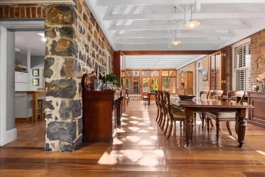
A gallery showing exactly how we capture the scale, lifestyle, and unique features of rural estates, in stills and in motion.
Why Patorama
Our formula for creating work that sells.

24-48 hour turnaround
Fast and reliable, shoot after shoot.
Story-led shooting
Every frame is shot with the campaign in mind.
Smart workflows
Modern tools mean better results, faster, without the old-agency hassle.
Repeat business
Almost every client books us for a second shoot.

Partnership model
Dedicated support for high-volume teams.
10+ Years Experience
Over a decade in the market. We know a thing or two about property marketing.
Ready to Make Your Next Listing the Best in the Suburb?
Book a cinematic shoot or talk with our production team about your upcoming projects.