Patorama Studios logo
HomeDrone & Aerial

Drone Videography & Aerial Photography in Canberra.

Fully licensed, CASA-certified drone pilots delivering sweeping 4K video and high-resolution aerial photography.

CASA CertifiedBoundary Outlines4K Video

Featured projects

Recent drone & aerial stories.

What our clients are saying

We deliver on our promises.

"Patorama's aerial work completely changed how we market our acreage listings. Buyers finally understand the scale before they even drive through the gates."

George Southwell

Raywhite Canberra & Yass

"The way the team handles the drone storytelling elevates the entire campaign. Every shot is deliberate and builds momentum."

James

Barton Commercial

"The team builds the emotional hook, then hands us stunning assets in under 48 hours. It elevated my entire brand."

John Connell

John Connell Real Estate

The Patorama Advantage

Why choose our drone & aerial service.

Drone & Aerial Advantage

Graphic Overlays

We can digitally highlight boundaries, POIs (Points of Interest), and dimensions directly on the images.

Safety First

Our pilots handle all airspace approvals and risk assessments so you don't have to worry.

Twilight Capable

Stunning evening aerials that make a property glow against the sunset.

Drone videography and aerial photography, flown across the Canberra region

Some properties never look like themselves from the footpath. A rural block reads as a driveway and a roofline. A townhouse development reads as one facade instead of twelve. An industrial site reads as a roller door. Getting the drone up is usually the fastest way to show a buyer what they are actually looking at.

We fly drone videography and aerial photography across Canberra and the ACT, Queanbeyan, Googong, Bungendore, Braidwood, Yass, Murrumbateman, Goulburn and Cooma. Most jobs are shot alongside a ground photography or video session, so the aerials cut together with the rest of the campaign instead of sitting apart from it.

Flying legally in Canberra airspace

Canberra is one of the more restricted places in the country to put a drone in the air. Controlled airspace surrounds the airport, and the Parliamentary Triangle carries its own prohibitions. A lot of the region also sits under approach paths that are not obvious from a map.

Our pilots hold CASA remote pilot licences and we operate under the conditions that apply to commercial flight. Where a property falls inside controlled airspace, we sort out the approvals before the shoot rather than turning up and finding out we cannot fly. If a site genuinely cannot be flown, we will tell you up front and suggest an alternative such as elevated pole photography.

Where aerial coverage earns its place

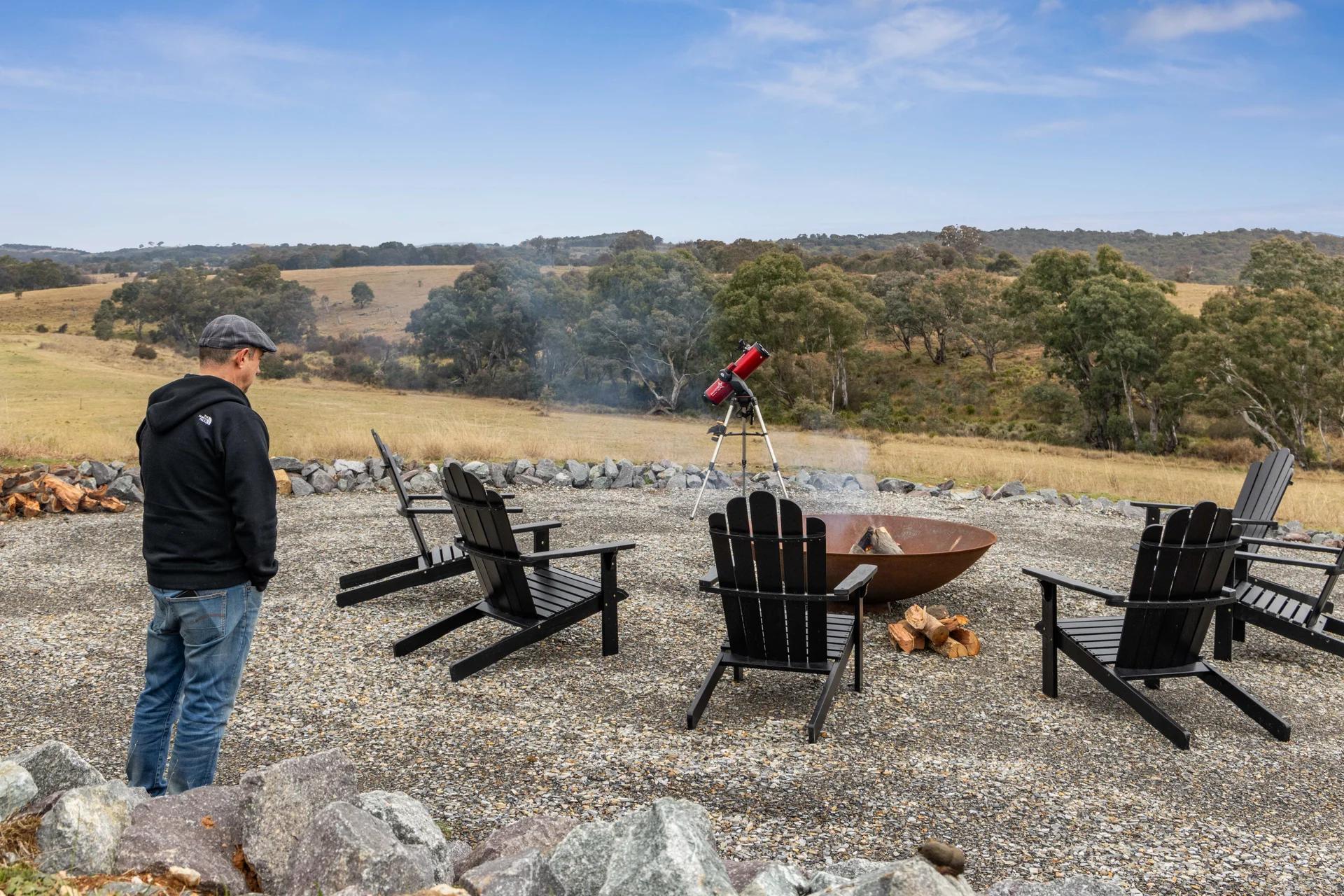
Rural and lifestyle listings gain the most. Aerials establish land shape, fencing, dam placement, shedding and the approach to the homestead, and boundary outlines let a buyer see exactly what is included before they drive two hours to an inspection.

For builders and developers, aerial video documents progress across a build and shows how a project sits within its street and its stage. We are often back at the same site several times across a year.

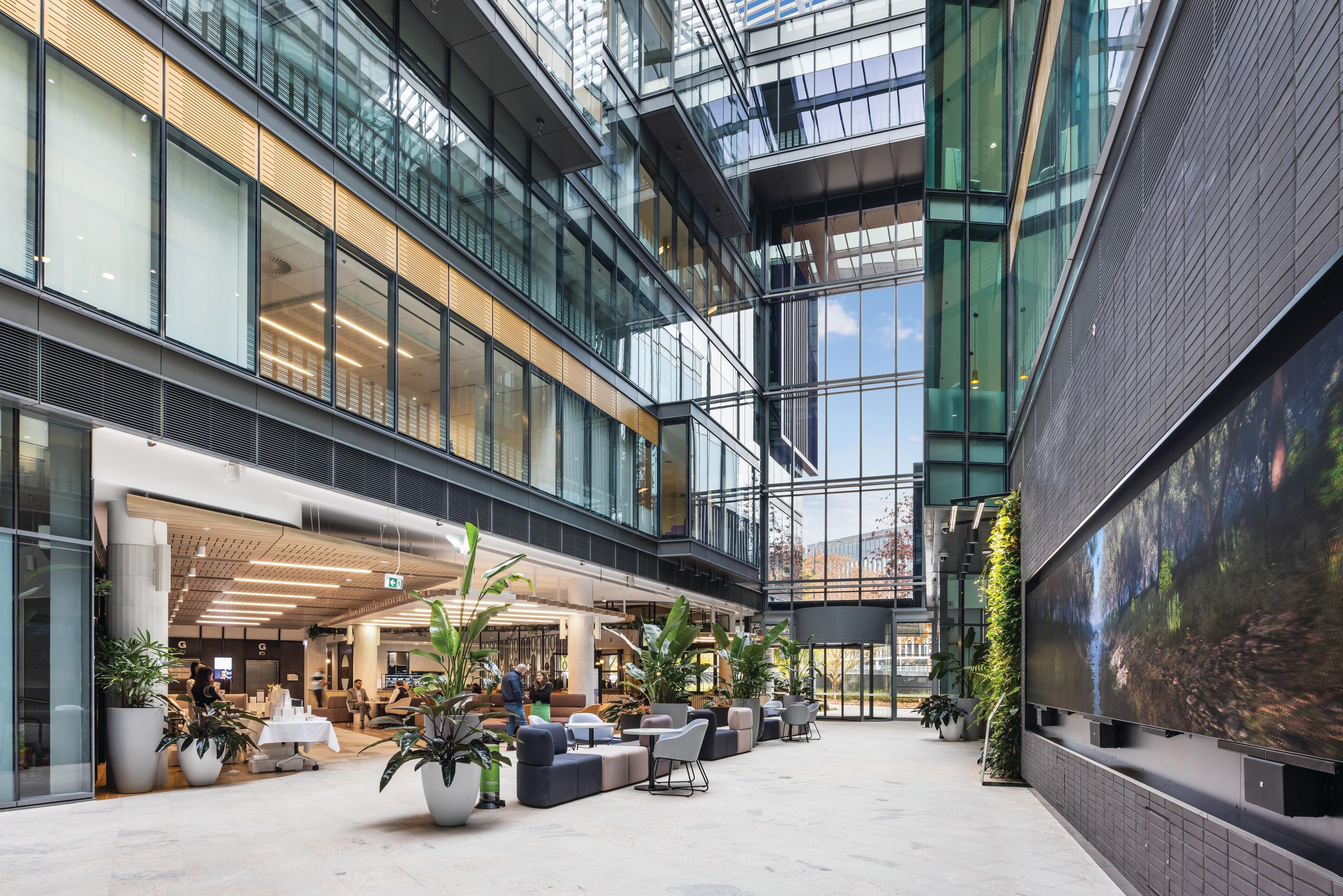
Commercial and industrial sites use aerials for scale, hardstand, parking, truck access and proximity to arterial roads. For residential listings, a short aerial sequence at the head of a property film sets the location before the walkthrough begins.

What drone videography and aerial stills come back as

Standard delivery is high-resolution aerial stills and 4K aerial video, colour matched to the ground photography from the same shoot so the whole set looks like it came from one camera. Boundary outlines and text overlays are available on request.

Aerial stills come back within 24 to 48 hours. Edited video takes longer depending on the cut. If you have a launch deadline, tell us when you book and we will work to it.

Frequently asked questions

Do you need a licence to fly a drone for real estate in Australia?
Yes. Flying a drone for commercial purposes, including marketing a property for sale or lease, requires the operator to be licensed with CASA and to fly under the conditions attached to that licence. Our pilots hold CASA remote pilot licences.
Can you fly a drone near Canberra Airport or in restricted airspace?
Often, but not automatically. Much of Canberra sits inside controlled airspace and the Parliamentary Triangle carries additional restrictions. We check the airspace for the address before the shoot and obtain any approval that is required. If a property cannot legally be flown we will tell you before the booking rather than on the day.
What is the difference between drone photography and drone videography?
Drone photography gives you high-resolution aerial stills for the listing, the boards and the brochure. Drone videography is moving footage — reveal pulls, orbits and push-ins cut to length for a property film or a social edit. Most campaigns use both, shot in the same flight so the stills and the video match.
Do you offer drone cinematography for property films and developments?
Yes. Cinematography is the deliberate version of aerial video: planned moves, matched grade and a cut that carries the story rather than a clip of the roof. We shoot it for rural and lifestyle listings, builder and developer progress reels, and commercial sites, and it cuts together with the ground footage from the same shoot.
How much does drone photography cost in Canberra?
Aerial work is usually quoted as part of a property package rather than on its own, because most listings need ground photography as well. Cost depends on the size of the property, travel, and whether you need stills, video, or both. Send us the address and we will quote it.
How quickly do I get the aerial photos back?
Aerial stills are delivered within 24 to 48 hours of the shoot. Edited aerial video depends on the length and complexity of the cut. Let us know your launch date when booking and we will work backwards from it.
Can you add boundary lines to the aerial photos?
Yes. Boundary outlines are a common addition for rural, lifestyle and development listings, and they are one of the main reasons buyers of larger blocks find aerials useful. Just send through the plan or title reference.
Do you fly outside Canberra?
Yes. We regularly fly across the wider region including Queanbeyan, Googong, Bungendore, Braidwood, Yass, Murrumbateman, Goulburn and Cooma, and we travel further for rural properties. Travel is factored into the quote.
What happens if the weather is bad on the day?
We do not fly in rain or high wind, and heavy overcast will flatten an aerial shot. If conditions will hurt the result we will reschedule rather than deliver something below standard.
Ready to Make Your Next Listing the Best in the Suburb?

Book a cinematic shoot or talk with our production team about your upcoming projects.

04
05
06
07
08
09
10
11
12
13
14